Updated: 15th March 2024
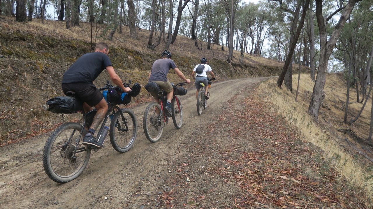
The Vic Divide 550 this year was an extraordinary bikepacking experience, marking my first attempt at a bikepacking ‘race’.
While I harbored no ambition to race competitively, the opportunity to socialize and meet like-minded bikepackers was incredibly rewarding.
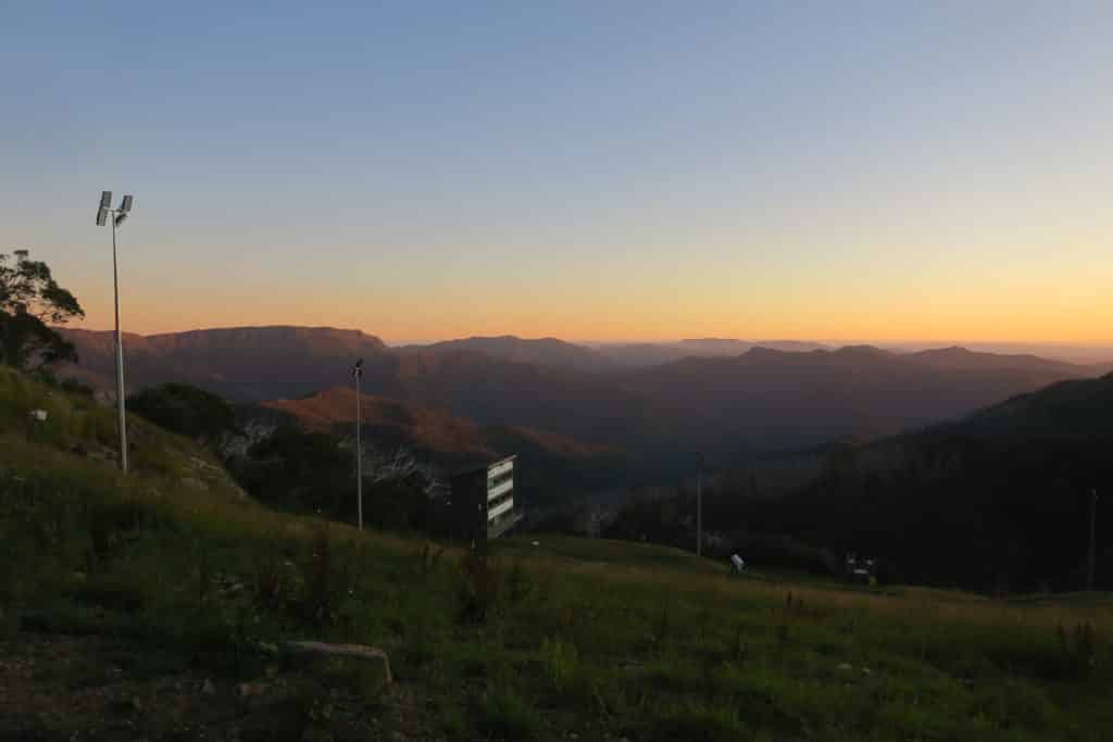
We spent five fantastic days riding from Melbourne’s outskirts to Albury via Mt. Buller, taking in some of the most breathtaking sights in Victoria’s high country. It was a truly unforgettable bikepacking journey.
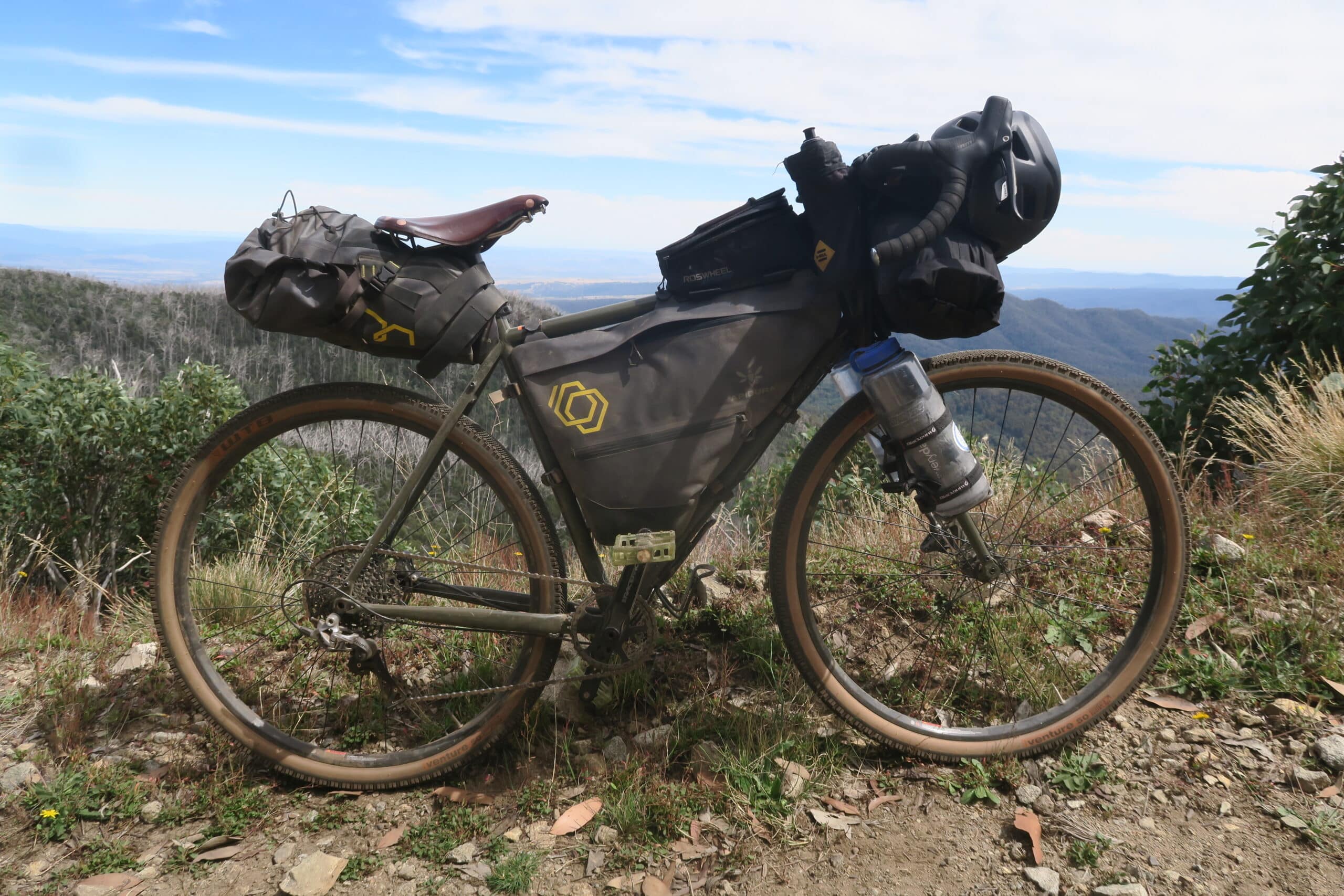
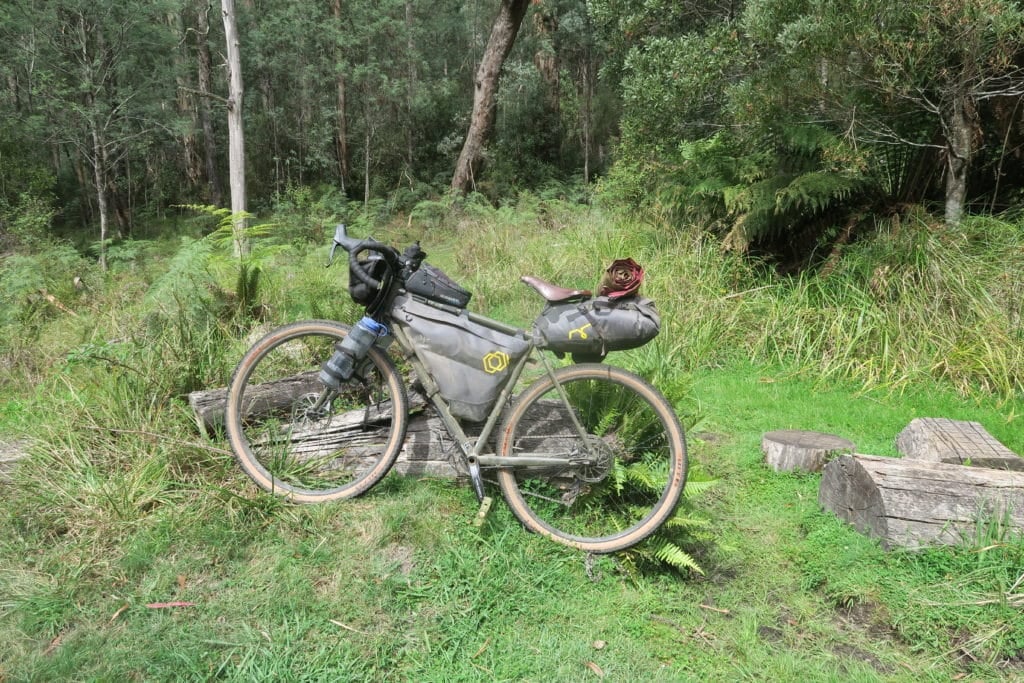
Special thanks to Lewis Ciddor for organizing this challenging route. I chose my Kona Sutra LTD gravel/adventure bike, although the route is typically recommended for mountain bikes.
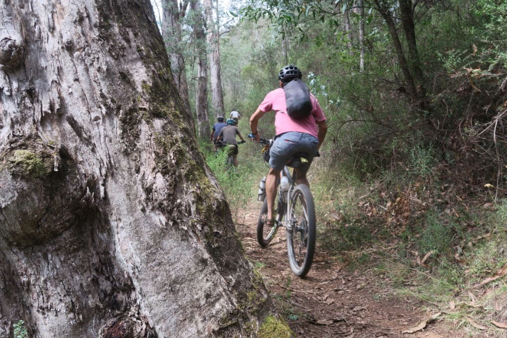
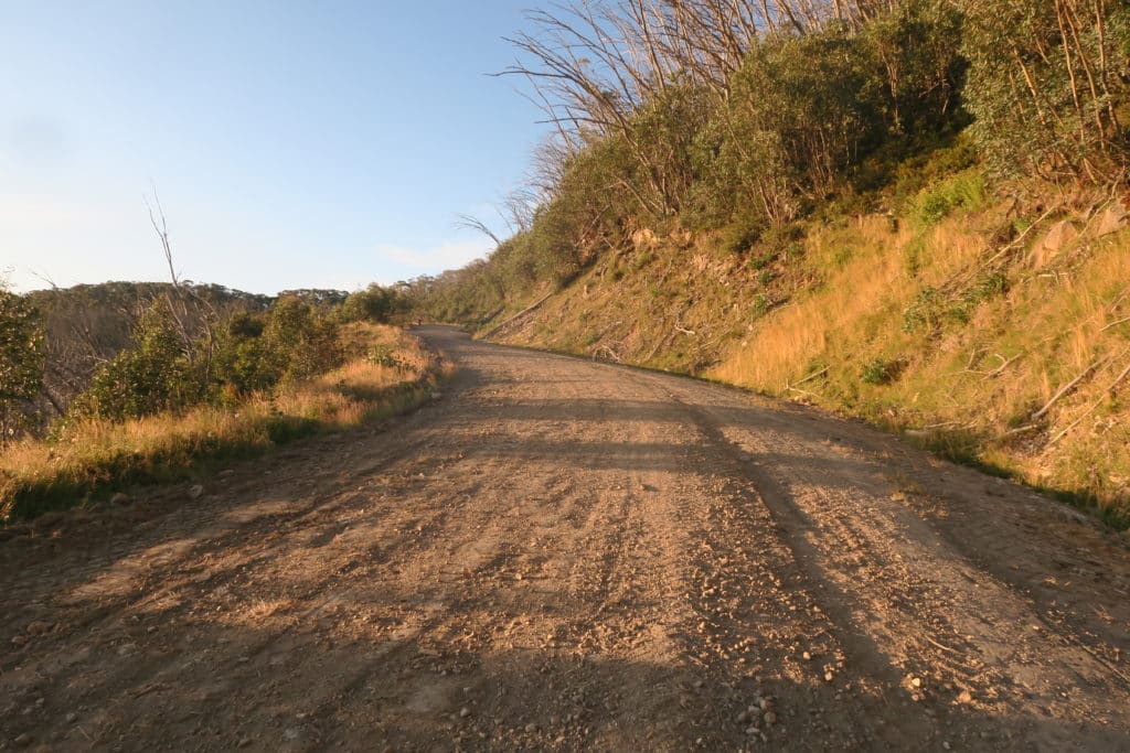
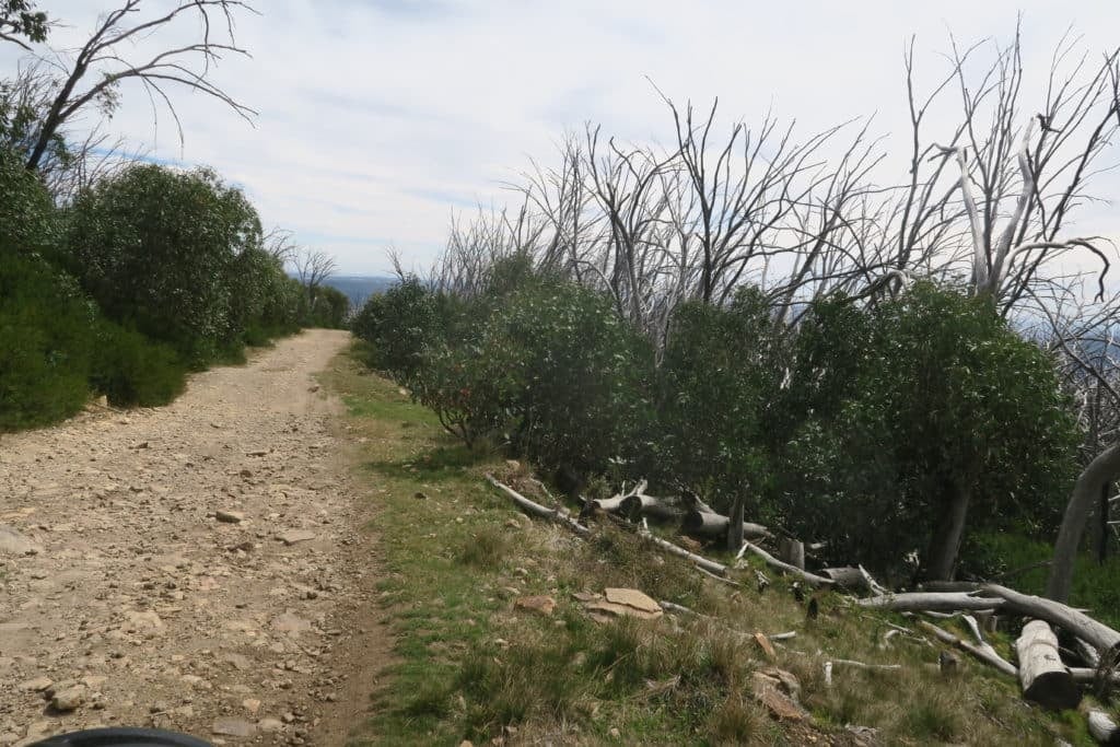
The steep inclines, MTB single tracks, and rocky downhill sections sometimes made the ride difficult on my bike. An MTB with suspension forks or a dual suspension mountain bike would have been ideal.
There was a particularly tricky downhill section leaving Buller where I went over the handlebars trying to avoid a large rock, resulting in a hurt hip and leg for the remainder of the ride.
In hindsight, wider tires would have been beneficial.
The Route
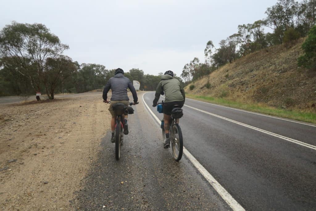
You can find the final route and rider results for 2020 here. The route has changed slightly from 2019, and you can also download the 2020 GPX file here.
The segment from Jamieson to Mt. Buller was generally the most challenging, with elevations rising from 300m in Jamieson to nearly 1300m over 100km.
This is quite demanding for a single day’s ride. While some aimed to complete it in under 48 hours, I chose a more leisurely five-day adventure pace.
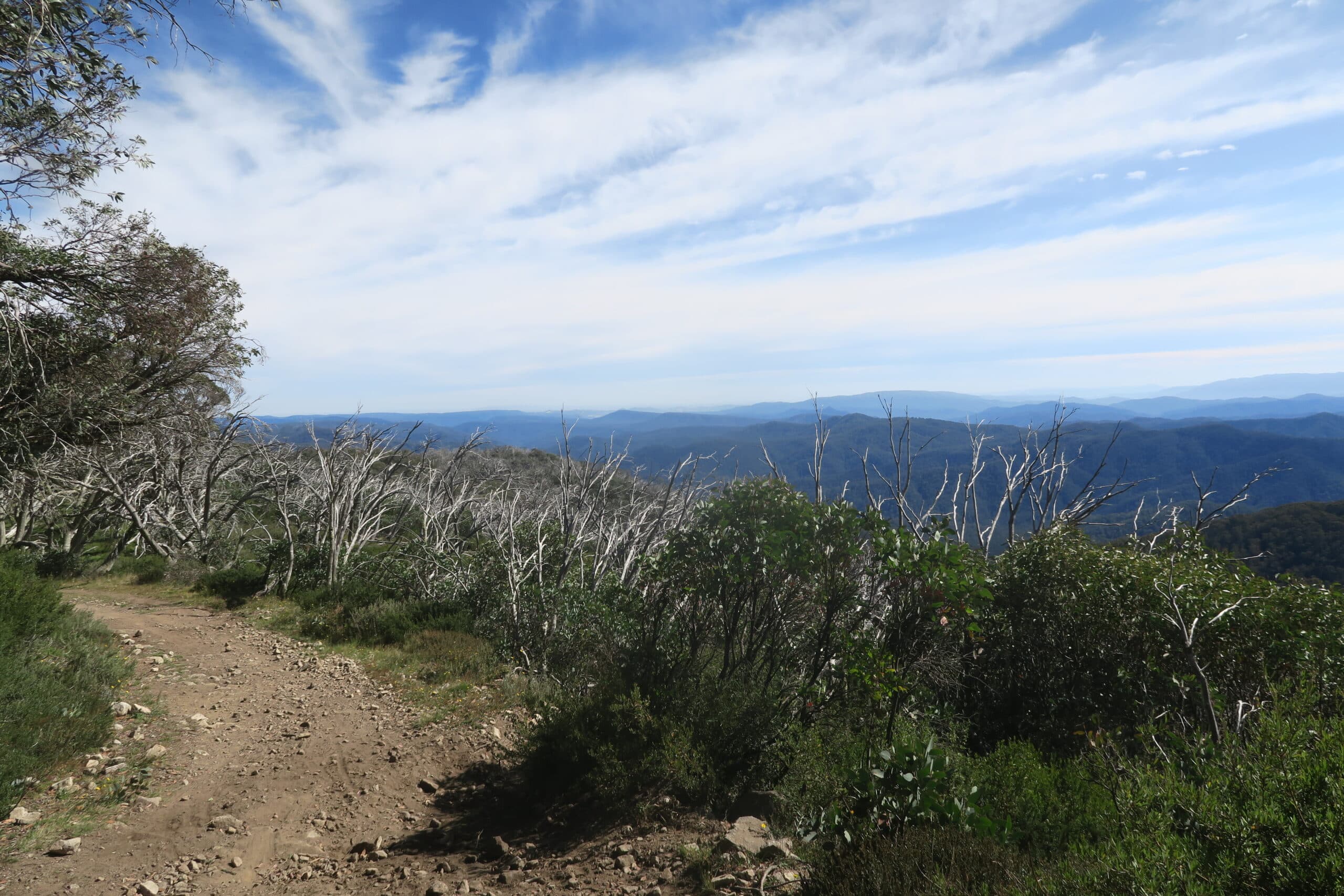
Apart from Buller, there are several other climbs along the route. Depending on your bike’s weight and your physical ability, I wouldn’t recommend a gravel bike with limited gearing.
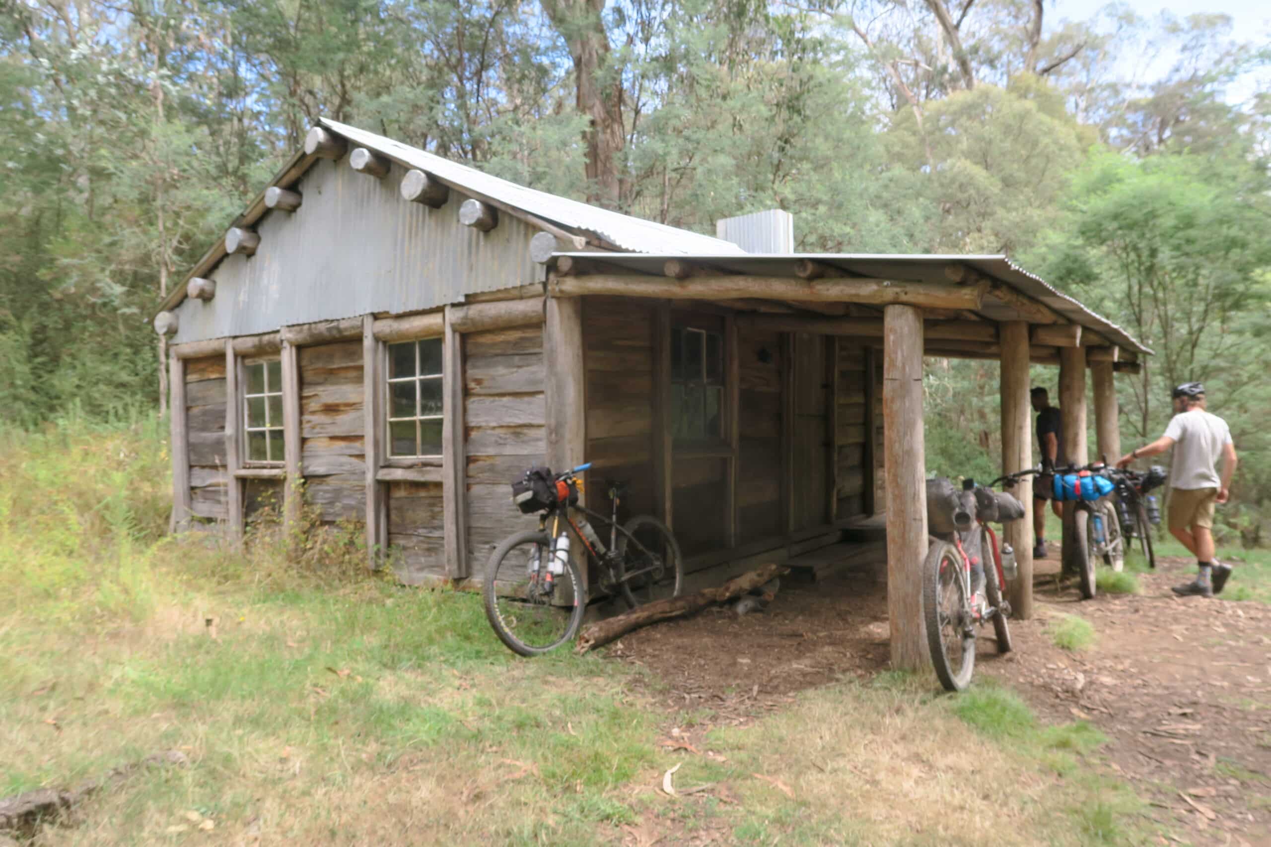
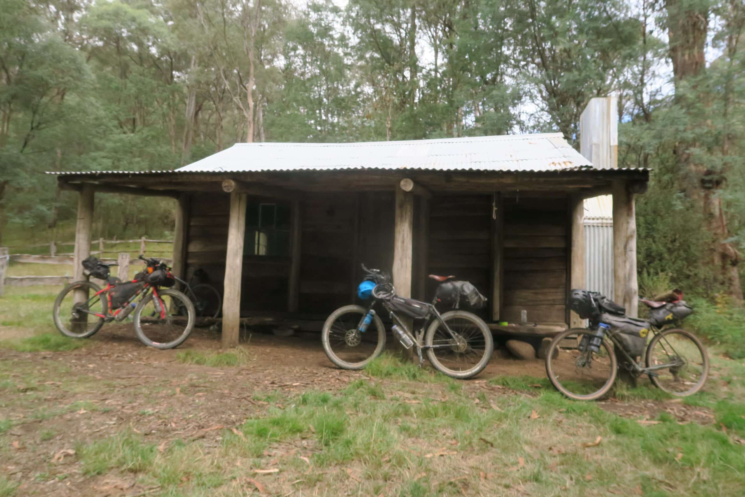
There are a few huts along the route, and I highly recommend planning to stay in one. Although I didn’t have the chance, I look forward to experiencing a night in a hut in the future.
The Victorian High Country Huts Association does a fantastic job maintaining these huts, which offer great respite or shelter. They’re currently raising funds to rebuild huts lost in this year’s fires. To support, you can donate or purchase merchandise here.
Food and Hydration
For food, it’s crucial to find high-energy options that agree with your stomach. I was surprised at how well I managed my energy levels by eating at least every hour, including a carb-heavy meal of 1kg of pasta the night before departure. My food pack included:
- Baked potatoes
- Fruits like oranges and bananas
- Muesli bars
- Electrolyte drinks
- Peanut butter sandwiches
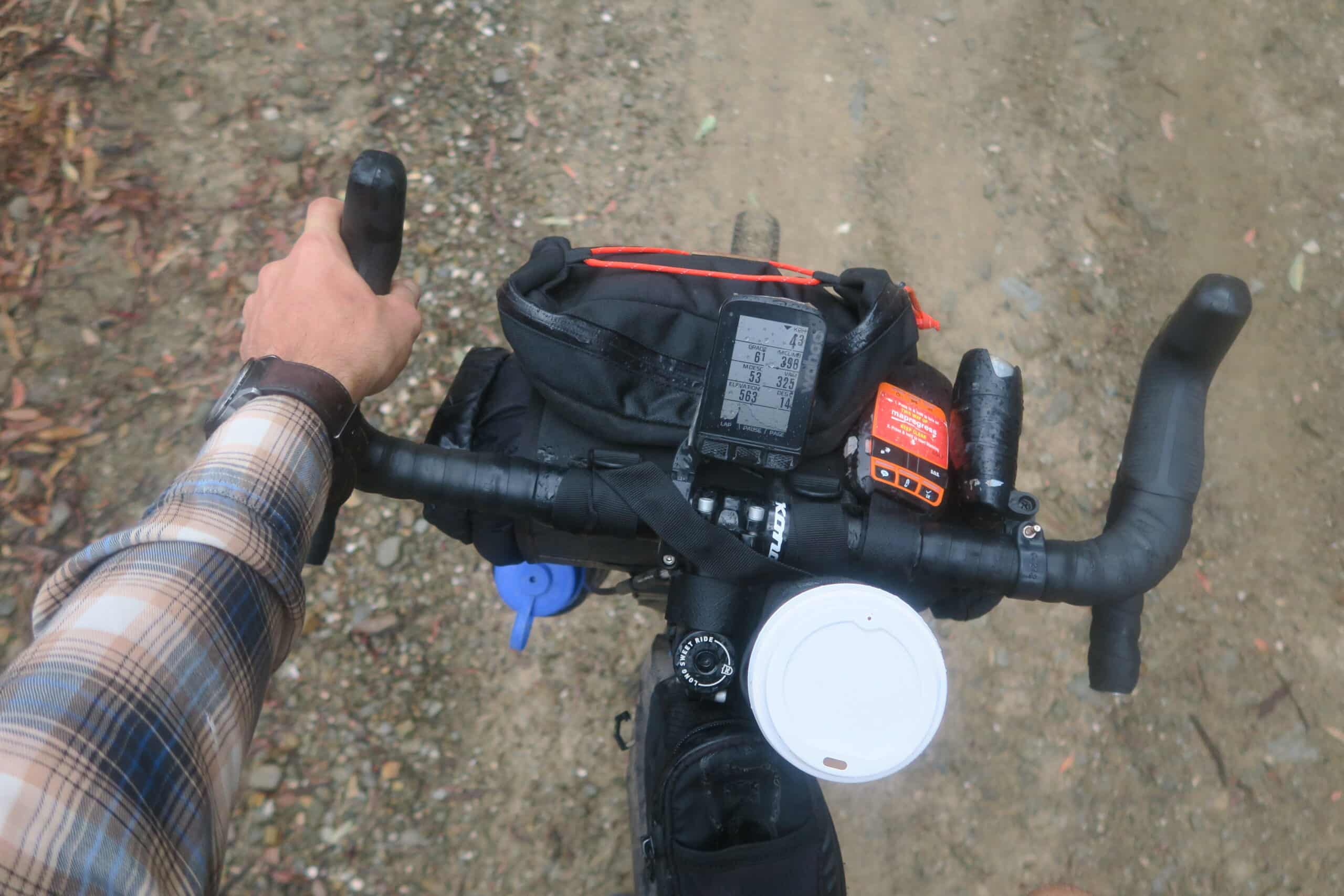
If you plan a five-day pace, there are places along the route for a hot meal each evening. I managed to reach pubs around 8 to 8:30 pm for dinner.
I carried 3.5 to 4 liters of water storage on my bike. While some re-supply locations offer water, I used purification tablets, especially in higher elevations where stream water is safe to drink.
Race Strategy & Duration of Ride
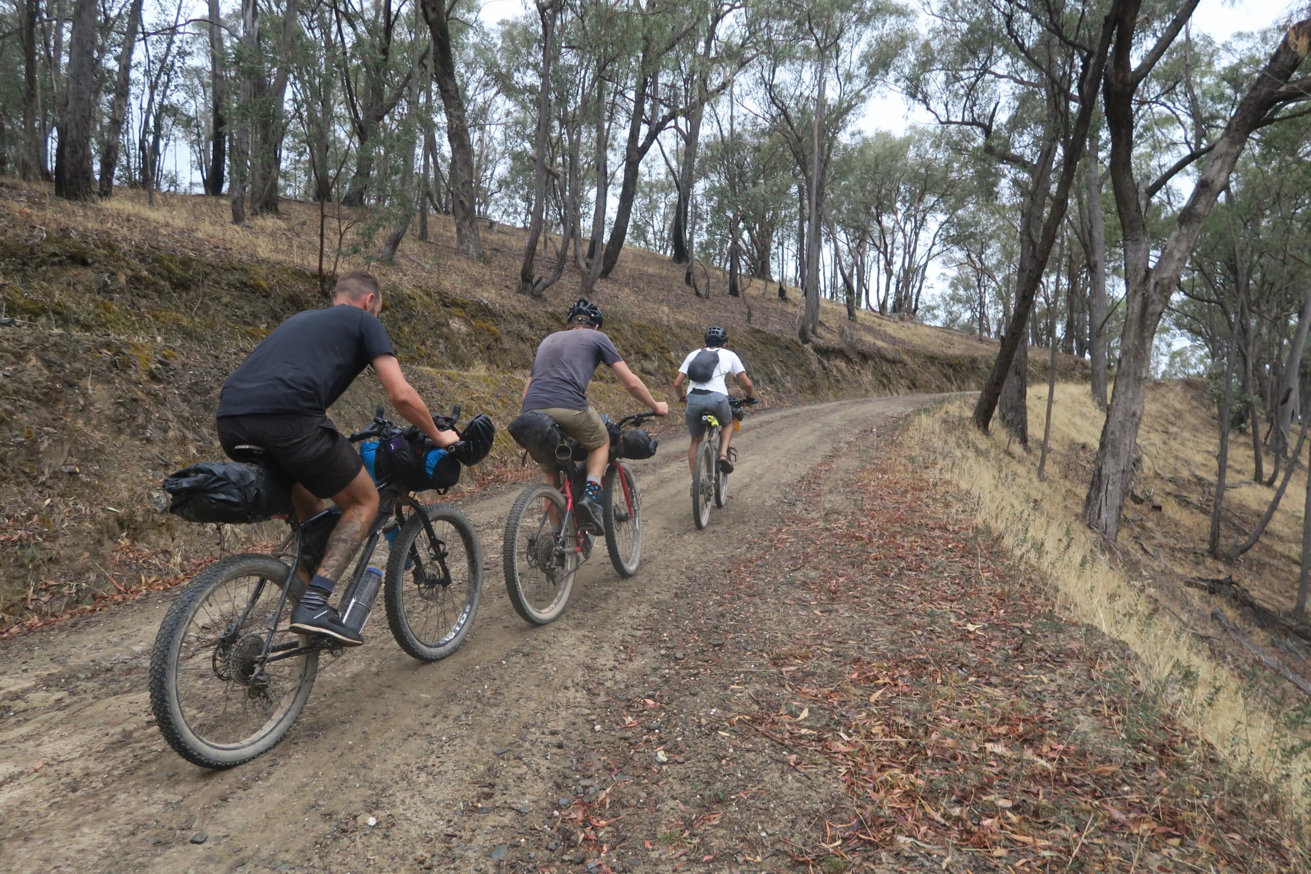
Your strategy should align with your goals. For me, bikepacking is about socializing, making new friends, and enjoying the scenery, rather than racing against the clock.
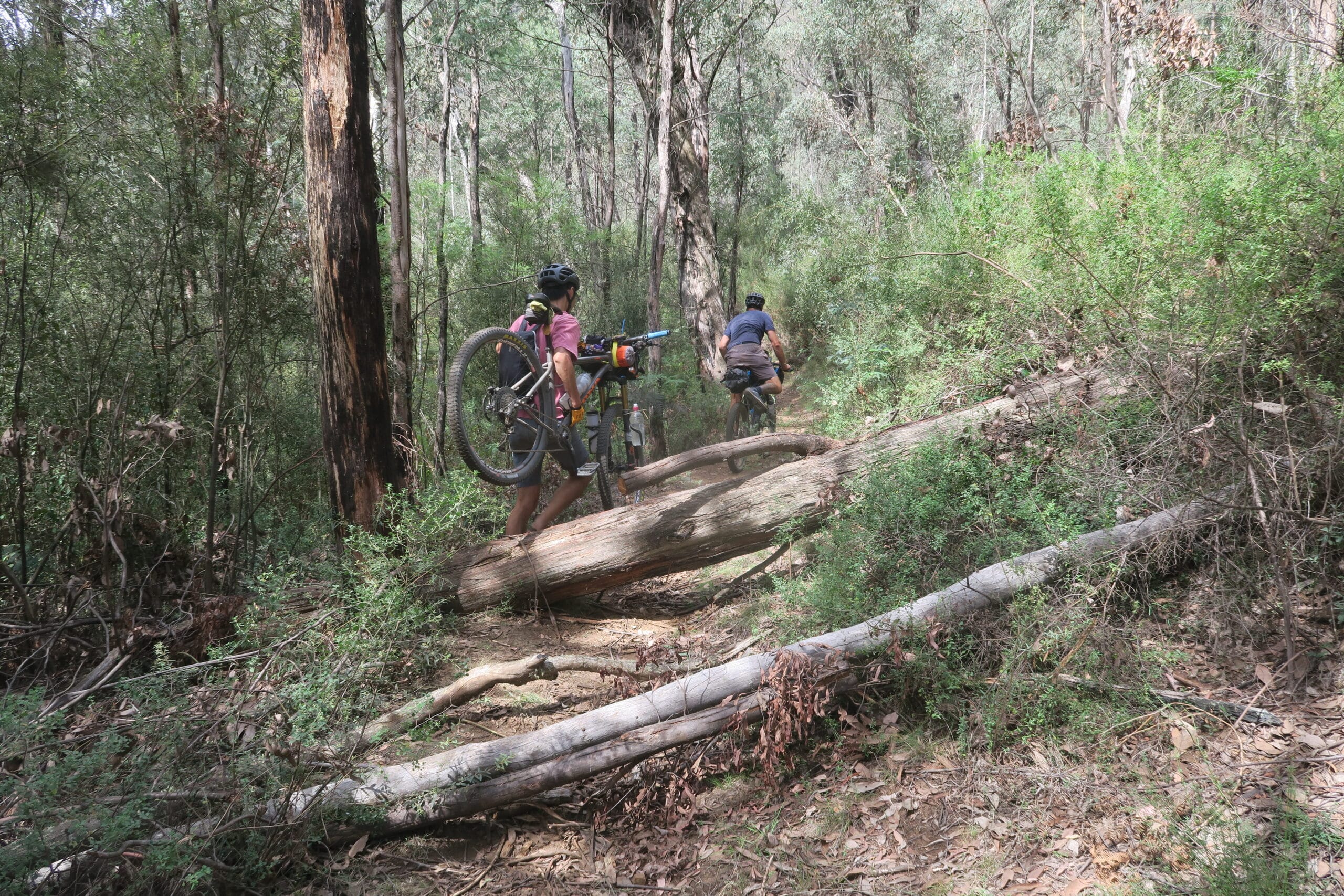
My goal was to complete the route in five days, which I achieved. This duration aligns well with resupply points and allows for daytime riding and ample photo opportunities. For those seeking a more competitive pace, 48 hours to 4 days might be more suitable.
Preparation
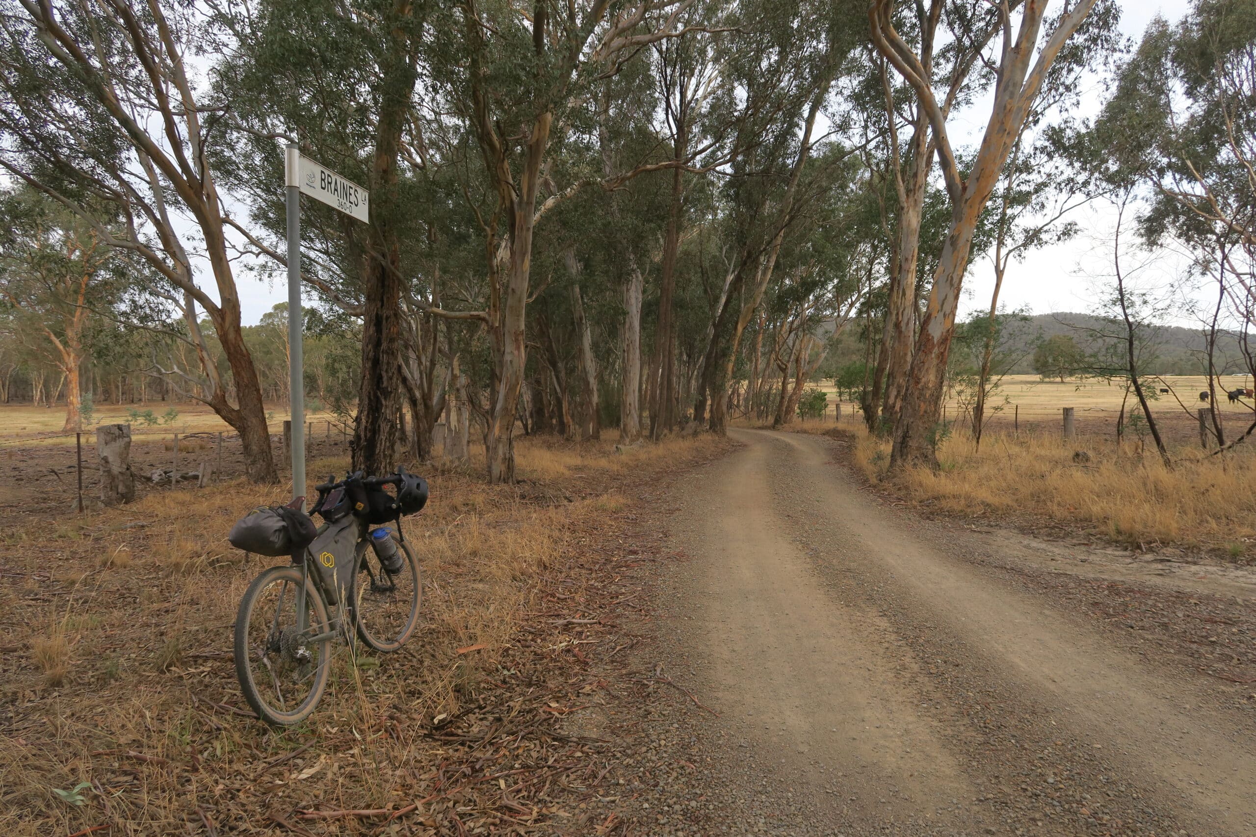
To prepare, start with shorter rides on similar roads with a loaded bike, aiming for 100km with 2500-3000m of vertical gain. This will build confidence for the Vic Divide route.
What Gear Should You Take?
Aim for a minimal setup that meets your needs:
- Shelter (tent, bivy, or tarp)
- Sleeping bag and pad
- Rain jacket
- Extra layers (including off-bike clothes for comfort)
- GPS device (phone or bike computer)
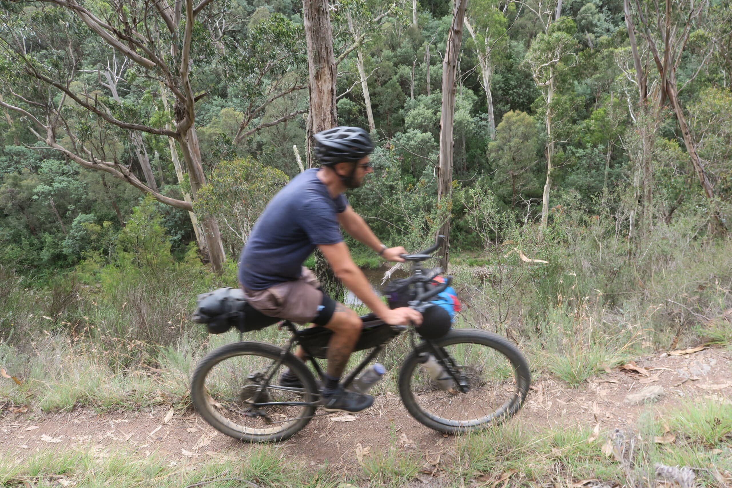
Limit additional gear to avoid unnecessary weight, especially considering the food packed on your bike. For this trip, I packed all my food from the start, focusing on staying well-nourished throughout the ride.
As the route crosses Woiworung (Wurundjeri), Taungurung, Waveroo, and Wiradjuri territories, it’s important to acknowledge them as the traditional owners.

Reflecting on this experience, I underestimated the challenge, particularly the effort required given the elevation and trail conditions. However, I am incredibly grateful for the experience and the sense of achievement in traversing Victoria’s stunning landscapes, far from the usual highways.

