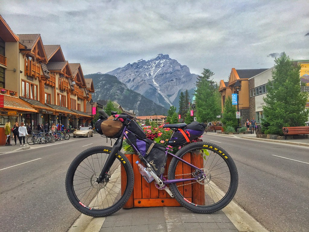
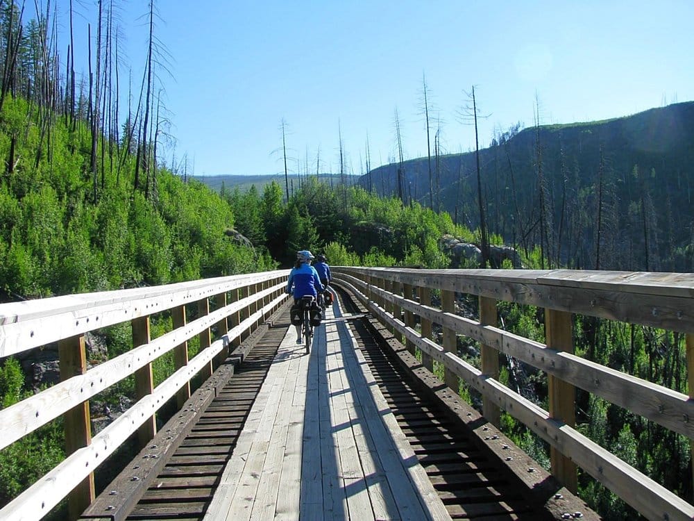
I have been to the US for a bike tour, but never made it to Canada yet. It is one of those places I have plans to getting to. Before I make any pans first I did some research finding some of the best bikepacking routes in Canada.
Some of these routes are really epic 1,000 km plus adventures lasting for 10 to 20 days. And others are overnighters to weekend rambles. So there is something here for all types of bikepackers.
I am thinking about flying over the Canada a undertaking the BC trail. I might even combined a few routes together to make one epic Canadian Bikepacking adventure! Oh, I am getting excited just thinking about it. Okay lets get into the bikepacking routes. here is a quick list of 18 fun bikepacking routes in Canada!
- Newfoundland T’railway
- The BC Trail
- The Coast Mountains Bikepacking Route, British Columbia
- Central Ontario Loop Trail (Colt)
- The Audible : Bikepacking Cypress Hills
- Bikepacking the Camelsfoot Range
- Bikepacking the lower Sunshine Coast
- Bikepacking the best of the South Chilcotin Mountains
- Eastern Kettle Valley Railway
- Kettle Valley Midway Loop
- Kootenay Flathead Fandango
- Old Porcupine’s Choice
- Sharb-Echo Scramble
- The GNR (Grand Nith Ramble)
- The BT700
Newfoundland T’railway


| Distance | Ascent | Days | Highest Point |
| 547 Miles / 880 KM | 17,100 Foot / 5,212 M | 10 | 1,567 foot / 478 M |
The Newfoundland T’Railway Provincial Park is an 880 kilometer (547 mile) bikepacking route that crosses Newfoundland from east to west via an unpaved scenic rail-grade. The route travels through vibrant urban and rural areas, and scenic wilderness as it links St. John’s to Grand Bay West.
The BC Trail


Route Credit * MILES ARBOUR
| Distance | Ascent | Days | Highest Point |
| 745 Miles / 1,199 KM | 46,663 foot / 14,223 M | 12 | 6,813 foot / 2,077 M |
The BC Trail is a 1,200 kilometer traverse of southern British Columbia, starting in the Fraser Valley and ending in Fernie, on the Alberta border. Following decommissioned rail trails, gravel side roads, forest service roads, and singletrack, the BC Trail boasts some of the most spectacular views the province has to offer.
The Coast Mountains Bikepacking Route, British Columbia


Route Credit * SKYLER DES ROCHES
| Distance | Ascent | Days | Highest Point |
| 479 Miles / 771 KM | 52,206 foot / 15,912 M | 14 | 7,450 Foot / 2,271 M |
The Coast Mountains bikepacking route traverses British Columbia’s biggest, highest, and wildest mountain range. They rise steeply out of the Pacific as broken fjordlands on their western edge, lifting up to the globe’s largest sub-polar icefields at their spine.
Central Ontario Loop Trail (Colt)


Route Credit * MILES ARBOUR
| Distance | Ascent | Days | Highest Point |
| 284 Miles / 457 KM | 9,789 foot / 2,984 M | 5 | 1,620 Foot / 494 M |
The COLT takes riders through 450km of Ontario’s most scenic areas, riddled with proof of a once booming industrial past. Explore a vast abandoned rail trail network, linked together by scenic secondary side roads, quaint villages, and a labyrinth of snowmobile and ATV trails. It’s a fantastic multi-day bikepacking opportunity with minimal risk but brags substantial rewards for those wanting to see what Ontario has to offer.
The Audible : Bikepacking Cypress Hills


Route Credit * LYNDON COUSINS
| Distance | Ascent | Days | Highest Point |
| 100 Miles / 161 KM | 6,900 foot / 2,103 M | 3 | 4,800 foot / 1,463 M |
Although not as dramatic as the Canadian Rockies to the west, this 3-4 day bikepacking route in the Cypress Hills Interprovincial Park is a unique destination for anyone interested in deep rooted history, geological phenomena, diverse landscapes, challenging hills, quiet fishing streams, “tame” and wild animals, few people, fewer cars, and a dark sky preserve.
Bikepacking the Camelsfoot Range


Route Credit * SKYLER DES ROCHES
| Distance | Ascent | Days | Highest Point |
| 98 Miles / 158 KM | 15,000 foot / 4,572 M | 4 | 7,975 foot / 2,431 M |
If variety is the spice of life, this is a five-star bikepacking route. From nirvanic double-track, to rowdy DH descents, with some rooty tech, some open alpine free-riding, a tough bushwhack, and a bit of gravel grinding thrown in, it has it all.
Bikepacking the lower Sunshine Coast


Route Credit * SKYLER DES ROCHES
| Distance | Ascent | Days | Highest Point |
| 75 Miles / 121 KM | 7,962 Foot / 2,427 M | 3 | 2,503 foot / 763 M |
A forty minute ferry ride from Vancouver, British Columbia, is all it takes to escape urban chaos. No more than 5 minutes after docking at Langdale, on the Sunshine Coast, this route leaves the pavement behind, and enters a lush green tunnel and a seemingly endless network of loamy mountain bike trails.
Bikepacking the best of the South Chilcotin Mountains


Route Credit * SKYLER DES ROCHES
| Distance | Ascent | Days | Highest Point |
| 79 Miles / 127 KM | 9,490 foot / 2,893 M | 3 | 7,300 foot / 2,225 M |
The South Chilcotin Mountains are Canada’s bikepacking hotspot. There is a good reason for this: nowhere else in the country offers such long singletrack trails of comparable quality in such a spectacular setting.
Eastern Kettle Valley Railway


Route Credit * Guy Stuart
| Distance | Ascent | Days |
| 538 Km | 5,740 metres | – |
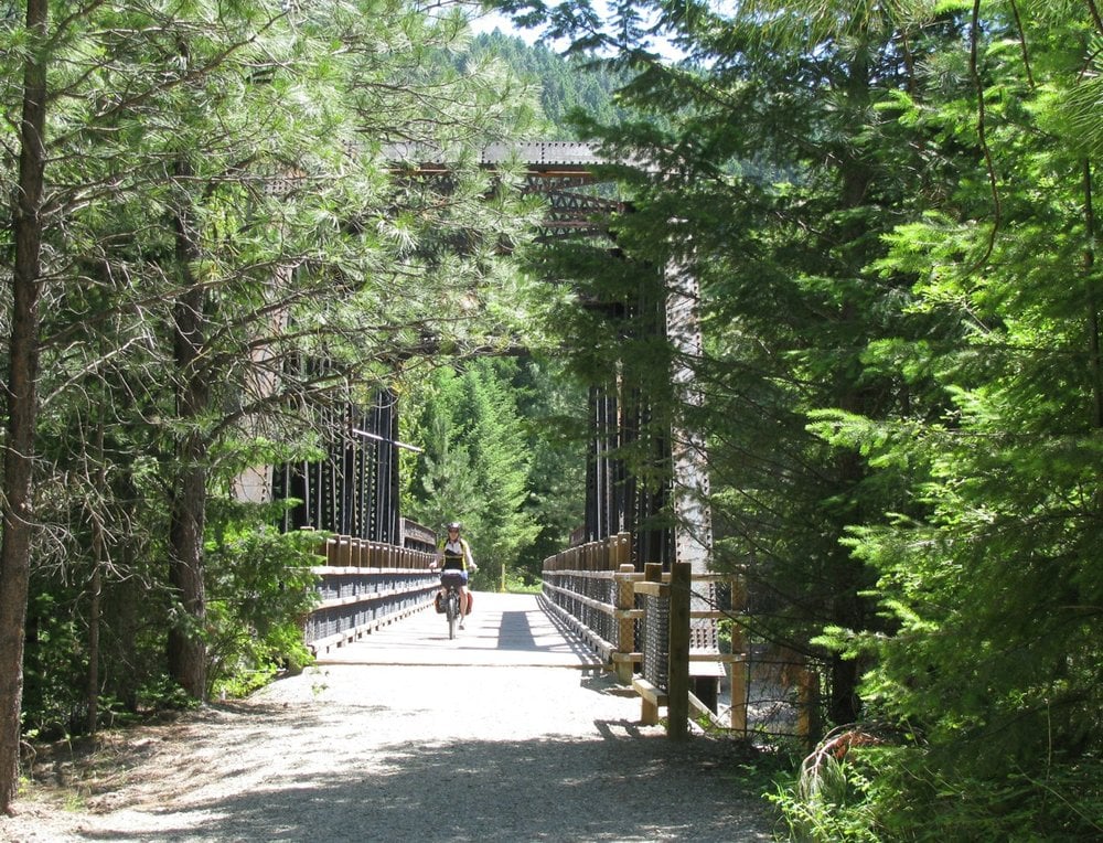
The entire route is very scenic with many vistas to savour. Total elevation gain is about 5,740 metres, the majority is done on railway and highway grades, with only Gray Creek Pass presenting some sections of hike-a-bike. There are options for re-supply, camping, lodging and meals at regular intervals. Myra Canyon is the high point of the Kettle Valley Railway (KVR) and makes for about 150 km of mostly downhill rail trail riding to Midway where the KVR ends and the Columbia and Western (C&W) starts.
Kettle Valley Midway Loop
| Distance | Ascent |
| 352 km loop | 3,689 m |
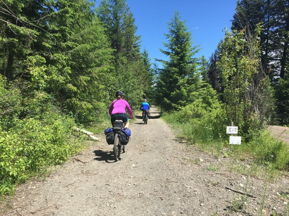
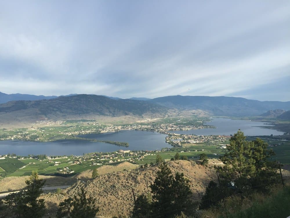
I cycle toured this division of the Kettle Valley Railway (KVR) in June 2015 with two friends. We had prearranged our accommodation, so could keep our gear to a minimum. Although we chose to ride at a casual pace, you could quite easily power through this route in a couple of days. This section of the KVR is an easy/moderate loop that starts and finishes in Midway, BC (Mile 0). The route goes through both the Carmi and Osoyoos Subdivisions of the KVR and runs primarily along a packed gravel rail-grade trail until Naramata. Resupply points, as well as options for camping/accommodation can be found along the route in Midway, Rock Creek, Beaverdell, Chute Lake, Myra Canyon, Penticton and Osoyoos.
Kootenay Flathead Fandango


Route Credit * Megan Dunn
Do you like trees? Feel like you’re not getting enough quality time with them in your everyday life? Then this is the route for you! Guaranteed to give you your daily fill of trees, combined with gorgeous gravel roads over rolling hills and mountains, and just enough icecream stops to keep you going.
Starting and finishing in Fernie, the route winds down through the Flathead, Kootenai, Idaho Panhandle and Colville National Forests, from British Columbia into Montana, Idaho, Washington, and back into British Columbia again. You’ll travel along portions of the Great Divide Mountain Bike Route and the BC Epic 1000, as well as a selection of random gravel roads and some paved road to connect everything together. This route passes through the traditional territory of the Blackfoot, Ktunaxa, Kalispel, Pend d’Oreille and Sinixt people.
Old Porcupine’s Choice


Route Credit * Sean Carter / BikeBike
Multi-surface bikepacking loop that takes you from ranchlands into the Rockies and back again. Only 33kms of the loop is pavements.
Actual distance: 277kms
Actual Elevation Gain: 3775m
Sharb-Echo Scramble


Route Credit * Paul Galipeau
This 3-night, 296 km bikepacking loop highlights the vast trail network in the uninhabited wilderness of the highlands north of the Trans-Canada Highway. Best suited to plus sized or fatbike tires, the route follows rugged terrain along historic railway trails, ATV paths, rolling hydroline trails and windy logging roads that despite having all been marked as multi-use trails by the Eastern Ontario Trails Alliance and despite its serious bikepacking potential, isn’t known to cyclists. The route loops around two provincial parks through large parcels of beautiful Crown land where there are a number of free campsites as well as a remote beach and an abandoned airstrip. To avoid flooding and bugs, this route is best done in late summer. A trailhead in Sharbot Lake is the easiest access point for anyone living between Ottawa and Toronto but other trailheads may help make resupplies easier.
The GNR (Grand Nith Ramble)


Route Credit * Matthew Kadey
Who says you have to venture deep into remote wild country to have a great bikepacking adventure. The GNR (Grand Nith Ramble) was designed not only to offer an extension to the BT 700 route, but to also take riders on a 350 kilometre journey along two of southern Ontario’s most alluring rivers – the Grand and Nith.
The BT700


Route Credit * Matthew Kadey
The BT 700 (actually 715 km, but whose counting) is a big loop in southwestern Ontario that uses a combination of gravel roads, rail trail, two-track, forest singletrack, rugged unserviced roads and just a whisper of pavement only when necessary. In an attempt to minimize the amount of time riders spend on paved roads, the route utilizes roughly 80% unpaved surfaces. It should be consider a mixed surface route and a bit more mountain bike oriented than a pure gravel ride. From the sunny shores of Lake Huron to the fetching escarpment country, there are many aesthetic treasures along the route.
